Chelmondiston Marsh
Introduction
The photograph on this page of Chelmondiston Marsh by Bob Jones as part of the Geograph project.
The Geograph project started in 2005 with the aim of publishing, organising and preserving representative images for every square kilometre of Great Britain, Ireland and the Isle of Man.

There are currently over 7.5m images from over 14,400 individuals and you can help contribute to the project by visiting https://www.geograph.org.uk
Chelmondiston Marsh
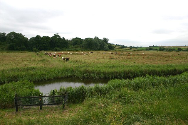
Image: © Bob Jones Taken: 12 Jul 2007
Low-lying grazing land to the south of the River Orwell. The higher ground in the distance is Man's Cliff.
Images are licensed for reuse under creativecommons.org/licenses/by-sa/2.0
Image Location
Latitude
51.988152
Longitude
1.257608