IMAGES TAKEN NEAR TO
Albert Rolph Drive, BRANDON, IP27 9DA
Introduction
This page details the photographs taken nearby to Albert Rolph Drive, IP27 9DA by members of the Geograph project.
The Geograph project started in 2005 with the aim of publishing, organising and preserving representative images for every square kilometre of Great Britain, Ireland and the Isle of Man.

There are currently over 7.5m images from over14,400 individuals and you can help contribute to the project by visiting https://www.geograph.org.uk
Image Map
Images are licensed for reuse under creativecommons.org/licenses/by-sa/2.0
Notes
- Clicking on the map will re-center to the selected point.
- The higher the marker number, the further away the image location is from the centre of the postcode.
Image Listing (12 Images Found)
Images are licensed for reuse under creativecommons.org/licenses/by-sa/2.0
Image
Details
Distance
3
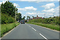
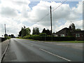
B1112 Eriswell Road
Heading north into Lakenheath.
Image: © Robin Webster
Taken: 12 Jul 2020
0.11 miles
5
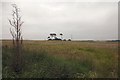
Farmland south of Lakenheath
Looking south east from South Road across an uncultivated meadow.
Image: © Bob Jones
Taken: 11 Jun 2007
0.16 miles
6
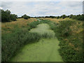
Cut-off Channel near Lakenheath
The Cut-off Channel follows the eastern edge of the Fens to Denver Sluice. The contrast in landscapes each side of it can be quite marked.
Image: © Hugh Venables
Taken: 24 Jul 2016
0.18 miles
7
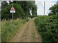
Smeeth Drove crossing the Cut-off Channel
With one of the more pointless road signs, as the unsurfaced drove widens onto the surfaced bridge.
Image: © Hugh Venables
Taken: 24 Jul 2016
0.19 miles
8
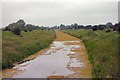
Cut-Off Channel
Viewed from Smeeth Drove bridge, this artificial drainage ditch is almost stagnant, as can be seen from the amount of weed.
Image: © Bob Jones
Taken: 11 Jun 2007
0.20 miles
9
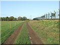
Track
Farmers track and footpath next to the boundary of RAF lakenheath, Suffolk.
Image: © Keith Evans
Taken: 25 Nov 2015
0.21 miles