Cut-off Channel near Lakenheath
Introduction
The photograph on this page of Cut-off Channel near Lakenheath by Hugh Venables as part of the Geograph project.
The Geograph project started in 2005 with the aim of publishing, organising and preserving representative images for every square kilometre of Great Britain, Ireland and the Isle of Man.

There are currently over 7.5m images from over 14,400 individuals and you can help contribute to the project by visiting https://www.geograph.org.uk
Cut-off Channel near Lakenheath
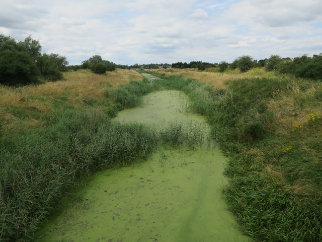
Image: © Hugh Venables Taken: 24 Jul 2016
The Cut-off Channel follows the eastern edge of the Fens to Denver Sluice. The contrast in landscapes each side of it can be quite marked.
Images are licensed for reuse under creativecommons.org/licenses/by-sa/2.0
Image Location
Latitude
52.404519
Longitude
0.524945