
IMAGES TAKEN NEAR TO
Wyverstone, STOWMARKET, IP14 4RZ
Introduction
This page details the photographs taken nearby to IP14 4RZ by members of the Geograph project.
The Geograph project started in 2005 with the aim of publishing, organising and preserving representative images for every square kilometre of Great Britain, Ireland and the Isle of Man.

There are currently over 7.5m images from over14,400 individuals and you can help contribute to the project by visiting https://www.geograph.org.uk
Image Map
Images are licensed for reuse under creativecommons.org/licenses/by-sa/2.0
Notes
- Clicking on the map will re-center to the selected point.
- The higher the marker number, the further away the image location is from the centre of the postcode.
Image Listing (11 Images Found)
Images are licensed for reuse under creativecommons.org/licenses/by-sa/2.0
Image
Details
Distance
1
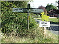
Slow Please
Duck warning sign Wyverstone Street, Suffolk.
Image: © Keith Evans
Taken: 27 Sep 2009
0.02 miles
2
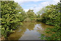
Crooksell Pond
Wyverstone Street duckpond
Image: © John Myers
Taken: 31 May 2011
0.02 miles
3
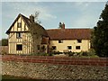
Crooksell Hall, Wyverstone Street, Suffolk
Image: © Robert Edwards
Taken: 6 Sep 2006
0.04 miles
4
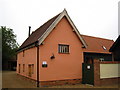
Guildhall Place, Wyverstone
An interesting building just off Rectory Road which dates from Tudor times and was once a public building (possibly a guildhall) before being moved and converted to agricultural use. It has recently been converted again as part of a house, along with an adjacent former barn. http://en.wikipedia.org/wiki/Wyverstone
Image: © Chris Holifield
Taken: 12 Jun 2011
0.11 miles
5
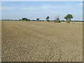
Footpath Where
The farmer has not yet reinstated the path across this field leading off Potash Lane Wyverstone Street, Suffolk.
Image: © Keith Evans
Taken: 27 Sep 2009
0.11 miles
6
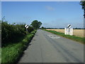
Heading west from Wyverstone Street
On Badwell Road.
Image: © JThomas
Taken: 17 Sep 2015
0.17 miles
7
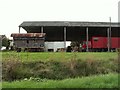
Grange Farm, Wyverstone Street, Suffolk
Image: © Robert Edwards
Taken: 6 Sep 2006
0.18 miles
8
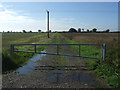
Gated farm track (footpath)
Heads south from Badwell Road.
Image: © JThomas
Taken: 17 Sep 2015
0.20 miles
9
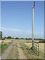
End Of The Footpath
The public footpath nearing the road near to Wyverstone Street, Suffolk.
Image: © Keith Evans
Taken: 27 Sep 2009
0.22 miles
10
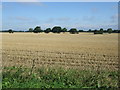
Stubble field, Wyverstone Street
North of Wyverstone Road.
Image: © JThomas
Taken: 17 Sep 2015
0.22 miles