Guildhall Place, Wyverstone
Introduction
The photograph on this page of Guildhall Place, Wyverstone by Chris Holifield as part of the Geograph project.
The Geograph project started in 2005 with the aim of publishing, organising and preserving representative images for every square kilometre of Great Britain, Ireland and the Isle of Man.

There are currently over 7.5m images from over 14,400 individuals and you can help contribute to the project by visiting https://www.geograph.org.uk
Guildhall Place, Wyverstone
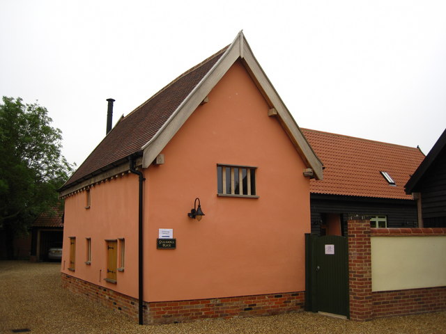
Image: © Chris Holifield Taken: 12 Jun 2011
An interesting building just off Rectory Road which dates from Tudor times and was once a public building (possibly a guildhall) before being moved and converted to agricultural use. It has recently been converted again as part of a house, along with an adjacent former barn. http://en.wikipedia.org/wiki/Wyverstone
Images are licensed for reuse under creativecommons.org/licenses/by-sa/2.0
Image Location
Latitude
52.270033
Longitude
0.978309