IMAGES TAKEN NEAR TO
Clopton, WOODBRIDGE, IP13 6QU
Introduction
This page details the photographs taken nearby to IP13 6QU by members of the Geograph project.
The Geograph project started in 2005 with the aim of publishing, organising and preserving representative images for every square kilometre of Great Britain, Ireland and the Isle of Man.

There are currently over 7.5m images from over14,400 individuals and you can help contribute to the project by visiting https://www.geograph.org.uk
Image Map
Images are licensed for reuse under creativecommons.org/licenses/by-sa/2.0
Notes
- Clicking on the map will re-center to the selected point.
- The higher the marker number, the further away the image location is from the centre of the postcode.
Image Listing (13 Images Found)
Images are licensed for reuse under creativecommons.org/licenses/by-sa/2.0
Image
Details
Distance
1
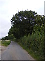
Martins Lane
Near the junction with the B1078 Ipswich Road
Image: © Geographer
Taken: 11 Aug 2011
0.05 miles
2
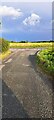
View south-east along Martins Lane
Image: © Christopher Hilton
Taken: 12 Jul 2023
0.05 miles
3
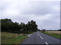
B1078 Ipswich Road
Looking towards Charsfield at the junction with Martins Lane
Image: © Geographer
Taken: 11 Aug 2011
0.05 miles
4
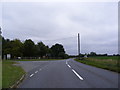
B1078 Ipswich Road
At the junction with Clopton Commericial Park
Image: © Geographer
Taken: 11 Aug 2011
0.12 miles
5
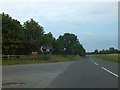
Woodland at turning for Clopton Depot
The depot and commercial centre are housed on the former Debach airfield. The main road is a former Roman road, which changes direction to the right a short way ahead of this woodland
Image: © David Smith
Taken: 19 Jun 2014
0.13 miles
8
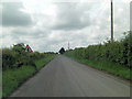
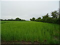
B1078 northeast of Poplar Farm
It's not difficult to imagine this as a Roman Road and the B1078 has been following its track for some distance. I can find no record of a specific Roman name, although further east it's marked as Ipswich Road on the O/S map. Likewise the lane joining from the left has no name until it has travelled some way south, then it is called Scotts Lane.
Image: © Stuart Logan
Taken: 28 Jun 2013
0.17 miles
9
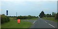
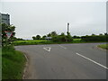
Junction off B1089 for Debach
The straight road ahead is marked as a Roman road
Image: © David Smith
Taken: 19 Jun 2014
0.17 miles