IMAGES TAKEN NEAR TO
St. Andrews Way, HULL, HU8 8JJ
Introduction
This page details the photographs taken nearby to St. Andrews Way, HU8 8JJ by members of the Geograph project.
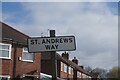
The Geograph project started in 2005 with the aim of publishing, organising and preserving representative images for every square kilometre of Great Britain, Ireland and the Isle of Man.

There are currently over 7.5m images from over14,400 individuals and you can help contribute to the project by visiting https://www.geograph.org.uk
Image Map
Images are licensed for reuse under creativecommons.org/licenses/by-sa/2.0
Notes
- Clicking on the map will re-center to the selected point.
- The higher the marker number, the further away the image location is from the centre of the postcode.
Image Listing (199 Images Found)
Images are licensed for reuse under creativecommons.org/licenses/by-sa/2.0
Image
Details
Distance
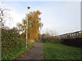
1
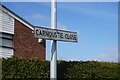
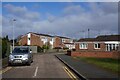
Carnoustie Close off St Andrews Way, Hull
https://www.geograph.org.uk/photo/6792357
Image: © Ian S
Taken: 27 Mar 2021
0.03 miles
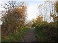
2
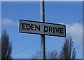
Eden Drive off St Andrews Way, Hull
https://www.geograph.org.uk/photo/6793033
Image: © Ian S
Taken: 27 Mar 2021
0.04 miles
3
Eden Drive off St Andrews Way, Hull
https://www.geograph.org.uk/photo/6793036
Image: © Ian S
Taken: 27 Mar 2021
0.05 miles
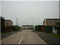
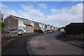
4
St Andrews Way off James Reckitt Avenue, Hull
https://www.geograph.org.uk/photo/6792351
Image: © Ian S
Taken: 27 Mar 2021
0.05 miles
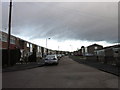
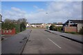
5
St Andrews Way off James Reckitt Avenue, Hull
https://www.geograph.org.uk/photo/6792350
Image: © Ian S
Taken: 27 Mar 2021
0.05 miles
6
Carnoustie Close off St Andrews Way, Hull
https://www.geograph.org.uk/photo/6792362
Image: © Ian S
Taken: 27 Mar 2021
0.05 miles