
IMAGES TAKEN NEAR TO
Hacklett, ISLE OF BENBECULA, HS7 5QD
Introduction
This page details the photographs taken nearby to HS7 5QD by members of the Geograph project.
The Geograph project started in 2005 with the aim of publishing, organising and preserving representative images for every square kilometre of Great Britain, Ireland and the Isle of Man.

There are currently over 7.5m images from over14,400 individuals and you can help contribute to the project by visiting https://www.geograph.org.uk
Image Map
Images are licensed for reuse under creativecommons.org/licenses/by-sa/2.0
Notes
- Clicking on the map will re-center to the selected point.
- The higher the marker number, the further away the image location is from the centre of the postcode.
Image Listing (6 Images Found)
Images are licensed for reuse under creativecommons.org/licenses/by-sa/2.0
Image
Details
Distance
1
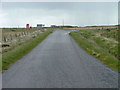
Road Junction and Telephone box
At Haclait.
Image: © Dave Fergusson
Taken: 22 May 2007
0.04 miles
3
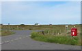
Postbox at the junction
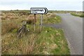
A junction of minor roads at Haclait. Stuart Wilding's photo from 2008 shows a telephone kiosk next to the postbox, but that is no longer there - possibly blown away in a Hebridean gale?
Image: © Gordon Hatton
Taken: 23 Jun 2019
0.05 miles
4
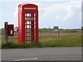
Communications
Post Box and Telephone Box just off the B891.
Image: © Stuart Wilding
Taken: 17 Jun 2008
0.07 miles
5
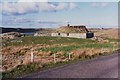
Ruined croft house, 5-6 Hacklet (Hacleit), in 1995
Looking northeast across upper Loch Chearabhaigh (a sea loch) towards the scattered township of Kilerivagh.
According to local information from Mary Harman in 2018, the house is still there with the mid gable with chimney standing, but the roof is entirely gone. The windows are still clear, and the winnowing hole in the barn at the left hand side of the picture is still there. The telegraph pole behind the house, being redundant is no longer there.
The building probably dates from the 19th century and is Category B listed [http://portal.historicenvironment.scot/designation/LB18754]. It also appears on the Buildings at Risk Register [https://www.buildingsatrisk.org.uk/search/keyword/hacklet/event_id/898243/building_name/5-6-hacklet].
Image: © Richard Sutcliffe
Taken: Unknown
0.19 miles
6

Ruined croft house, Haclait, Beinn na Faoghla/Benbecula
The condition of the croft house has deteriorated significantly in the 30 years since Richard's photo was taken: Image Due to the loss of any remains of its thatched roof, the house lost its listed status in 2021.
Image: © Claire Pegrum
Taken: 15 Jun 2025
0.19 miles