
IMAGES TAKEN NEAR TO
Thuringen Street, ROSS-ON-WYE, HR9 7WX
Introduction
This page details the photographs taken nearby to Thuringen Street, HR9 7WX by members of the Geograph project.
The Geograph project started in 2005 with the aim of publishing, organising and preserving representative images for every square kilometre of Great Britain, Ireland and the Isle of Man.

There are currently over 7.5m images from over14,400 individuals and you can help contribute to the project by visiting https://www.geograph.org.uk
Image Map
Images are licensed for reuse under creativecommons.org/licenses/by-sa/2.0
Notes
- Clicking on the map will re-center to the selected point.
- The higher the marker number, the further away the image location is from the centre of the postcode.
Image Listing (79 Images Found)
Images are licensed for reuse under creativecommons.org/licenses/by-sa/2.0
Image
Details
Distance
1
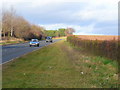
A40 Ross-on-Wye eastern bypass.
Looking north towards the Ross spur.
Image: © Jonathan Billinger
Taken: 21 Dec 2008
0.02 miles
2
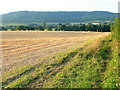
Harvested barley near Ross-on-Wye 1
Looking south at 06:45am, parallel with the A40 looking to the wooded plateau of The Penyard.
Image: © Jonathan Billinger
Taken: 23 Aug 2009
0.05 miles
3
New housing here soon, 3
The northern section of the housing site development described here; Image
A view towards May Hill in the centre distance.
Image: © Jonathan Billinger
Taken: 21 Mar 2018
0.08 miles
4
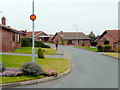
Chatsworth Close, Ross-on-Wye
Bungalow country!
Image: © Jonathan Billinger
Taken: 24 Feb 2009
0.09 miles
5
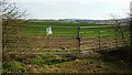
New housing here soon, 1
The northern section of the housing site development described here; Image
Image: © Jonathan Billinger
Taken: 21 Mar 2018
0.09 miles
6
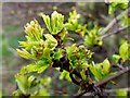
Hawthorn buds
Signs of frost damage after recent cold weather in March 2018.
Image: © Jonathan Billinger
Taken: 21 Mar 2018
0.09 miles
7
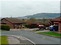
Cul-de-sac off Chatsworth Close, Ross-on-Wye
The bungalows back onto farmland, at the moment.
The hill in the distance is The Penyard.
Image: © Jonathan Billinger
Taken: 24 Feb 2009
0.09 miles
8
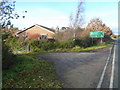
Field entrance off the A40
Housing by the Ross-on-Wye eastern bypass, looking north.
Image: © Jonathan Billinger
Taken: 21 Dec 2008
0.09 miles
9
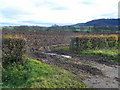
Field entrance off the A40
Looking east with the Penyard prominent in the right distance.
Image: © Jonathan Billinger
Taken: 21 Dec 2008
0.10 miles
10
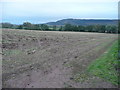
Post-harvest, pre-cultivation
Arable land east of the A40 at Ross-on-Wye.
The flat topped, wooded Penyard Hill is in the distance.
Image: © Jonathan Billinger
Taken: 2 Nov 2008
0.10 miles