
IMAGES TAKEN NEAR TO
Sterrys Lane, ROSS-ON-WYE, HR9 7AH
Introduction
This page details the photographs taken nearby to Sterrys Lane, HR9 7AH by members of the Geograph project.
The Geograph project started in 2005 with the aim of publishing, organising and preserving representative images for every square kilometre of Great Britain, Ireland and the Isle of Man.

There are currently over 7.5m images from over14,400 individuals and you can help contribute to the project by visiting https://www.geograph.org.uk
Image Map
Images are licensed for reuse under creativecommons.org/licenses/by-sa/2.0
Notes
- Clicking on the map will re-center to the selected point.
- The higher the marker number, the further away the image location is from the centre of the postcode.
Image Listing (70 Images Found)
Images are licensed for reuse under creativecommons.org/licenses/by-sa/2.0
Image
Details
Distance
1
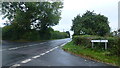
Crossroads on the B4221
Sterry's Lane to the left, North Pole Lane to the right.
Image: © Jonathan Billinger
Taken: 1 Oct 2016
0.02 miles
2
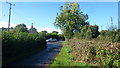
Approaching a crossroads
North Pole Lane at its junction with the B4221 Ross Road.
Image: © Jonathan Billinger
Taken: 30 Sep 2016
0.02 miles
3
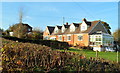
Salter's Hill Charity, Ryelands, Gorsley
Salter's Hill Charity provides services for people with a learning disability. Formed in 1983, the charity is now based at four locations - two in Gorsley and two in Ledbury. This one is in Ryelands, on the north side of the B4221 in Gorsley.
Image: © Jaggery
Taken: 13 Nov 2011
0.03 miles
4
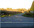
North Pole Lane, Gorsley
Viewed across the B4221 from the edge of Sterrys Road.
The unusual name of the lane seemed incongruous as it was viewed on an unusually mild day in mid November!
Image: © Jaggery
Taken: 13 Nov 2011
0.03 miles
5
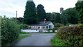
House at Brockmoor Corner
North Pole Lane, Gorsley, Gloucestershire.
Image: © Jonathan Billinger
Taken: 29 Sep 2016
0.06 miles
6
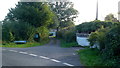
Brockmoor Lane
Dead-end lane leading off a sharp bend in North Pole Lane.
Image: © Jonathan Billinger
Taken: 28 Sep 2016
0.08 miles
7
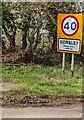
GORSLEY - Please drive carefully
At this sign alongside the B4221 near the corner of
Stoney Road, the 50mph speed limit drops to 40mph.
Image: © Jaggery
Taken: 9 Apr 2023
0.12 miles
8
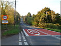
Eastern boundary of Gorsley
At the junction with Stoney Lane, the B4221 reaches the boundary of Gorsley, a village about 3 miles from Newent, Gloucestershire and 6 miles from Ross-on-Wye, Herefordshire.
Image: © Jaggery
Taken: 13 Nov 2011
0.12 miles
9
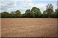
Earth, trees and sky
A flat crop field between Sterrys Road and Old Lane (Simmonds Lane).
Image: © Pauline E
Taken: 11 May 2010
0.13 miles
10
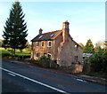
Cottage renovation, Gorsley
Located on the B4221 on the Gloucestershire side of the village of Gorsley, near the Herefordshire border.
Image: © Jaggery
Taken: 13 Nov 2011
0.13 miles