Crossroads on the B4221
Introduction
The photograph on this page of Crossroads on the B4221 by Jonathan Billinger as part of the Geograph project.
The Geograph project started in 2005 with the aim of publishing, organising and preserving representative images for every square kilometre of Great Britain, Ireland and the Isle of Man.

There are currently over 7.5m images from over 14,400 individuals and you can help contribute to the project by visiting https://www.geograph.org.uk
Crossroads on the B4221
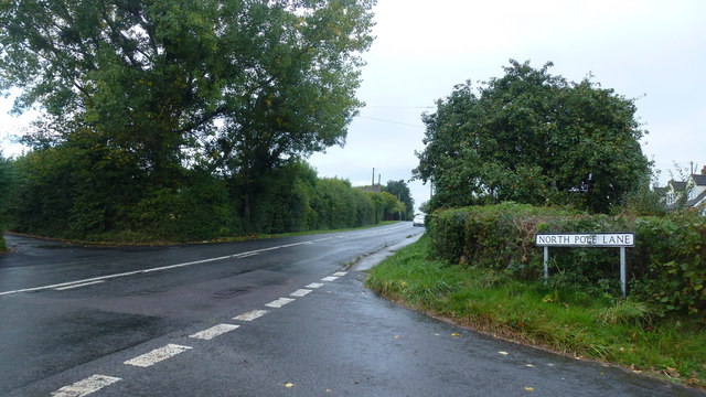
Image: © Jonathan Billinger Taken: 1 Oct 2016
Sterry's Lane to the left, North Pole Lane to the right.
Images are licensed for reuse under creativecommons.org/licenses/by-sa/2.0
Image Location


Leaflet Map data © OpenStreetMap
Latitude
51.930529
Longitude
-2.460841