IMAGES TAKEN NEAR TO
Doward Place, ROSS-ON-WYE, HR9 6HL
Introduction
This page details the photographs taken nearby to Doward Place, HR9 6HL by members of the Geograph project.
The Geograph project started in 2005 with the aim of publishing, organising and preserving representative images for every square kilometre of Great Britain, Ireland and the Isle of Man.

There are currently over 7.5m images from over14,400 individuals and you can help contribute to the project by visiting https://www.geograph.org.uk
Image Map
Images are licensed for reuse under creativecommons.org/licenses/by-sa/2.0
Notes
- Clicking on the map will re-center to the selected point.
- The higher the marker number, the further away the image location is from the centre of the postcode.
Image Listing (154 Images Found)
Images are licensed for reuse under creativecommons.org/licenses/by-sa/2.0
Image
Details
Distance
1
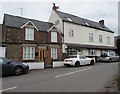
Row of three houses, Goodrich
Granary Cottage is the middle house, behind the white car.
Image: © Jaggery
Taken: 19 Jun 2016
0.01 miles
2
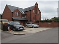
Recently-built house in Goodrich
The nameplate shows COPWIN 2015. Viewed in June 2016.
Image: © Jaggery
Taken: 19 Jun 2016
0.02 miles
3
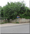
Direction signs in Goodrich
The white arrow on the brown sign points the way to Goodrich Castle. The blue sign shows a route for cyclists and walkers to Symonds Yat East when the ferry across the River Wye is not operating.
Image: © Jaggery
Taken: 19 Jun 2016
0.02 miles
4
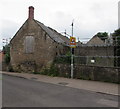
Warning sign - school, Goodrich
The sign is alongside the derelict former village school on the approach to Goodrich Church of England Primary School. http://www.geograph.org.uk/photo/5022314
Image: © Jaggery
Taken: 19 Jun 2016
0.02 miles
5
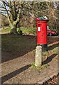
Colourful hat on a pillarbox, Goodrich, Herefordshire
Viewed on February 5th 2023.
Image: © Jaggery
Taken: 5 Feb 2023
0.02 miles
7
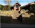
Goodrich War Memorial
Steps lead up to a 3-sided brick structure located opposite the village shop and post office. http://www.geograph.org.uk/photo/3847975
Inside are a Great War (First World War) tablet on the back wall and Second World War tablets on the side walls.
Image: © Jaggery
Taken: 24 Feb 2012
0.03 miles
8
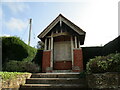
War memorial, Goodrich
Unusually provided with a shelter https://historicengland.org.uk/listing/the-list/list-entry/1420401
Image: © Jonathan Thacker
Taken: 17 Sep 2020
0.03 miles