
IMAGES TAKEN NEAR TO
Walford Road, ROSS-ON-WYE, HR9 5UZ
Introduction
This page details the photographs taken nearby to Walford Road, HR9 5UZ by members of the Geograph project.
The Geograph project started in 2005 with the aim of publishing, organising and preserving representative images for every square kilometre of Great Britain, Ireland and the Isle of Man.

There are currently over 7.5m images from over14,400 individuals and you can help contribute to the project by visiting https://www.geograph.org.uk
Image Map
Images are licensed for reuse under creativecommons.org/licenses/by-sa/2.0
Notes
- Clicking on the map will re-center to the selected point.
- The higher the marker number, the further away the image location is from the centre of the postcode.
Image Listing (102 Images Found)
Images are licensed for reuse under creativecommons.org/licenses/by-sa/2.0
Image
Details
Distance
1
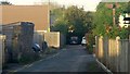
Chapel Road, Ross-on-Wye
At the end of this dead-end lane are a couple of Morris Minors living out their twilight years.
Image: © Jonathan Billinger
Taken: 24 Sep 2018
0.02 miles
2
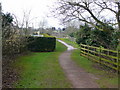
Town and Country Trail, Ross-on-Wye
This is a short section of the footpath between Fernbank Road and Walford Road, which the pelican crossing ahead negotiates.
Image: © Jonathan Billinger
Taken: 24 Jan 2009
0.02 miles
3
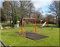
Childs Garden play area, Ross-on-Wye
Located on the east side of the B4234 Walford Road. A nearby plaque shows that Childs Garden is dedicated to the memory of Ron and Joyce Childs, mayor and mayoress of Ross 1979-1980.
Image: © Jaggery
Taken: 24 Feb 2012
0.03 miles
4
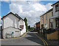
Chapel Road, Tudorville
I couldn't find a chapel but the pub was called The Noah's Ark - hmmm!
Image: © Pauline E
Taken: 12 Aug 2007
0.04 miles
5
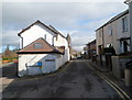
Chapel Road, Ross-on-Wye
Viewed from the Walford Road end. Chapel Road leads to Tudor Street.
Noah's Ark http://www.geograph.org.uk/photo/3565066 is on the right.
Image: © Jaggery
Taken: 24 Feb 2012
0.04 miles
6
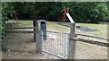
Locked-down playground, 2
Play area by the Walford Road.
The facility will be open for business on or just after 4th July 2020.
Image: © Jonathan Billinger
Taken: 10 Jun 2020
0.04 miles
7
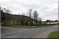
Walford Road
Eastfield Road and Fernbank Road are off to the left and Roman Way is on the right. Chase Wood is in the distance.
Image: © Pauline E
Taken: 31 Mar 2009
0.04 miles
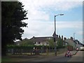
9
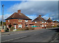
Walford Road houses, Ross-on-Wye
Viewed from the corner of Chapel Road.
Image: © Jaggery
Taken: 24 Feb 2012
0.04 miles
10
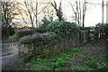
Old railway bridge at Tudorville
A bridge over the old single track line from Ross on Wye to Monmouth, now looking slightly worse for wear and completely devoid of purpose since the trackbed and the approach cuttings were filled in to create a car parking area and a kids' play park.
Image: © John Winder
Taken: 3 Mar 2014
0.05 miles