
IMAGES TAKEN NEAR TO
Park Road, KINGTON, HR5 3AW
Introduction
This page details the photographs taken nearby to Park Road, HR5 3AW by members of the Geograph project.
The Geograph project started in 2005 with the aim of publishing, organising and preserving representative images for every square kilometre of Great Britain, Ireland and the Isle of Man.

There are currently over 7.5m images from over14,400 individuals and you can help contribute to the project by visiting https://www.geograph.org.uk
Image Map
Images are licensed for reuse under creativecommons.org/licenses/by-sa/2.0
Notes
- Clicking on the map will re-center to the selected point.
- The higher the marker number, the further away the image location is from the centre of the postcode.
Image Listing (202 Images Found)
Images are licensed for reuse under creativecommons.org/licenses/by-sa/2.0
Image
Details
Distance
1
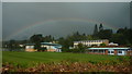
Rainbow over Lady Hawkins' School (Kington)
Very nice rainbow that spanned over the grounds of the main secondary school at Kington.
Image: © Fabian Musto
Taken: 15 Aug 2019
0.06 miles
2
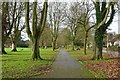
Path through recreation ground
The path through the recreation ground in Kington is followed by the Herefordshire Trail, a long distance path which circles the county.
Image: © Philip Halling
Taken: 29 Dec 2018
0.06 miles
3
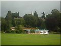
The Town of Kington
From the sports facilities at Lady Hawkins' school to the spire of St. Mary's church, this photo was taken from a path by the recreation ground at Kington.
Image: © Fabian Musto
Taken: 15 Aug 2019
0.07 miles
4
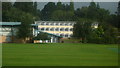
Lady Hawkins' School (Kington)
The main secondary school at Kington is housed in these buildings which were built from 1962 to 1973. The school was originally founded on 29th September 1632, and was housed in a nearby stone building from 1632 to 1962 I think.
Image: © Fabian Musto
Taken: 15 Aug 2019
0.07 miles
5
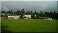
Lady Hawkins' School (Kington)
The main secondary school at Kington is housed in these buildings which were built from 1962 to 1973. The school was originally founded on 29th September 1632, and was housed in a nearby stone building from 1632 to 1962 I think.
Image: © Fabian Musto
Taken: 15 Aug 2019
0.07 miles
6
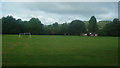
Kington Recreation Ground
The large recreation ground at Kington is home to playing cricket and football.
Image: © Fabian Musto
Taken: 15 Aug 2019
0.07 miles
7
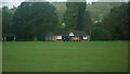
Pavilion at Kington Recreation Ground
This wide pavilion for the Kington Cricket Club was built in memory of Rob Richardson, who lived from 1922 to 1995.
Image: © Fabian Musto
Taken: 15 Aug 2019
0.07 miles
8
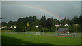
Rainbow at Kington
This rainbow went over Lady Hawkins' school at Kington.
Image: © Fabian Musto
Taken: 15 Aug 2019
0.09 miles
9
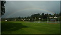
Rainbow at Kington
This rainbow went over Lady Hawkins' school at Kington.
Image: © Fabian Musto
Taken: 15 Aug 2019
0.09 miles
10
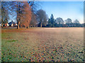
The Recreation Ground
Looking east across the top end of the Kington Recreation Ground. The morning sun is making little impression on the frozen ground. On the left a row of semis on Park Avenue.
In 1888 Thomas Skarratt Hall donated this 12-acre area of parkland, bordered to the south by the River Arrow, in a Charitable Trust for the people of Kington. 'Australian Tom' made his fortune in the Australian gold mines and became a well-known benefactor to the town.
http://kingtonrecreationground.org/index.html
Image: © Trevor Rickard
Taken: 4 Jan 2010
0.09 miles