
The Recreation Ground
Introduction
The photograph on this page of The Recreation Ground by Trevor Rickard as part of the Geograph project.
The Geograph project started in 2005 with the aim of publishing, organising and preserving representative images for every square kilometre of Great Britain, Ireland and the Isle of Man.

There are currently over 7.5m images from over 14,400 individuals and you can help contribute to the project by visiting https://www.geograph.org.uk
The Recreation Ground
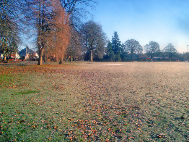
Image: © Trevor Rickard Taken: 4 Jan 2010
Looking east across the top end of the Kington Recreation Ground. The morning sun is making little impression on the frozen ground. On the left a row of semis on Park Avenue. In 1888 Thomas Skarratt Hall donated this 12-acre area of parkland, bordered to the south by the River Arrow, in a Charitable Trust for the people of Kington. 'Australian Tom' made his fortune in the Australian gold mines and became a well-known benefactor to the town. http://kingtonrecreationground.org/index.html
Images are licensed for reuse under creativecommons.org/licenses/by-sa/2.0
Image Location

Latitude
52.201273
Longitude
-3.036194