IMAGES TAKEN NEAR TO
Manor Gardens, HIGH WYCOMBE, HP13 5HD
Introduction
This page details the photographs taken nearby to Manor Gardens, HP13 5HD by members of the Geograph project.
The Geograph project started in 2005 with the aim of publishing, organising and preserving representative images for every square kilometre of Great Britain, Ireland and the Isle of Man.

There are currently over 7.5m images from over14,400 individuals and you can help contribute to the project by visiting https://www.geograph.org.uk
Image Map
Images are licensed for reuse under creativecommons.org/licenses/by-sa/2.0
Notes
- Clicking on the map will re-center to the selected point.
- The higher the marker number, the further away the image location is from the centre of the postcode.
Image Listing (33 Images Found)
Images are licensed for reuse under creativecommons.org/licenses/by-sa/2.0
Image
Details
Distance
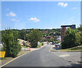
2
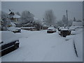
New Houses on a New Road
Shown as dotted lines through open space on the current (2018) map, this is a new road linking Hughenden Avenue and Coates Lane. At the time of this picture, the land opposite is still a construction site.
Image: © Des Blenkinsopp
Taken: 25 Jan 2018
0.07 miles
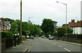
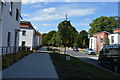
6
Hughenden Avenue passes Hughenden Park Student Village
Image: © Stuart Logan
Taken: 30 Jul 2014
0.10 miles
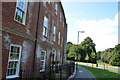
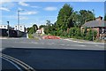
8
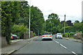
A4128 Hughenden Road
Heading north out of High Wycombe
Image: © Robin Webster
Taken: 9 Jun 2019
0.11 miles
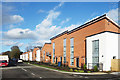
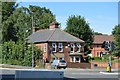
9
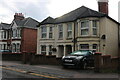
Houses on Hughenden Road, High Wycombe
Image: © David Howard
Taken: 27 Sep 2022
0.11 miles