New Houses on a New Road
Introduction
The photograph on this page of New Houses on a New Road by Des Blenkinsopp as part of the Geograph project.
The Geograph project started in 2005 with the aim of publishing, organising and preserving representative images for every square kilometre of Great Britain, Ireland and the Isle of Man.

There are currently over 7.5m images from over 14,400 individuals and you can help contribute to the project by visiting https://www.geograph.org.uk
New Houses on a New Road
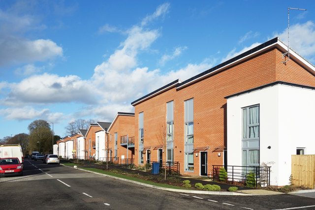
Image: © Des Blenkinsopp Taken: 25 Jan 2018
Shown as dotted lines through open space on the current (2018) map, this is a new road linking Hughenden Avenue and Coates Lane. At the time of this picture, the land opposite is still a construction site.
Images are licensed for reuse under creativecommons.org/licenses/by-sa/2.0
Image Location
Latitude
51.639618
Longitude
-0.752864