IMAGES TAKEN NEAR TO
Gibbs Green, EDGWARE, HA8 9RS
Introduction
This page details the photographs taken nearby to Gibbs Green, HA8 9RS by members of the Geograph project.
The Geograph project started in 2005 with the aim of publishing, organising and preserving representative images for every square kilometre of Great Britain, Ireland and the Isle of Man.

There are currently over 7.5m images from over14,400 individuals and you can help contribute to the project by visiting https://www.geograph.org.uk
Image Map
Images are licensed for reuse under creativecommons.org/licenses/by-sa/2.0
Notes
- Clicking on the map will re-center to the selected point.
- The higher the marker number, the further away the image location is from the centre of the postcode.
Image Listing (51 Images Found)
Images are licensed for reuse under creativecommons.org/licenses/by-sa/2.0
Image
Details
Distance
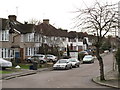
3
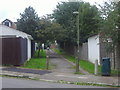
Path between Gibbs Green and Elmgate Gardens
Image: © David Howard
Taken: 2 Oct 2013
0.06 miles
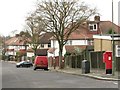
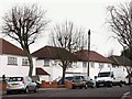
7
Stoneyfields Lane, Edgware
If you look closely you can just see the old Green Shield Stamp building on Station Road
Image: © David Howard
Taken: 2 Oct 2013
0.08 miles
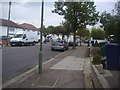
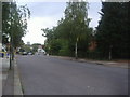
10
Hale Lane
Looking along Hale Lane in Edgware at the junction with Greencroft.
Image: © DS Pugh
Taken: 31 Dec 2018
0.11 miles