IMAGES TAKEN NEAR TO
Kynance Gardens, STANMORE, HA7 2QJ
Introduction
This page details the photographs taken nearby to Kynance Gardens, HA7 2QJ by members of the Geograph project.
The Geograph project started in 2005 with the aim of publishing, organising and preserving representative images for every square kilometre of Great Britain, Ireland and the Isle of Man.

There are currently over 7.5m images from over14,400 individuals and you can help contribute to the project by visiting https://www.geograph.org.uk
Image Map
Images are licensed for reuse under creativecommons.org/licenses/by-sa/2.0
Notes
- Clicking on the map will re-center to the selected point.
- The higher the marker number, the further away the image location is from the centre of the postcode.
Image Listing (41 Images Found)
Images are licensed for reuse under creativecommons.org/licenses/by-sa/2.0
Image
Details
Distance
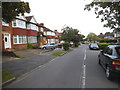
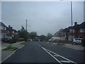
2
Path from St Andrews Drive to Bromfield
Image: © David Howard
Taken: 29 May 2014
0.12 miles
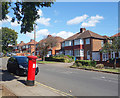
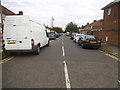
8
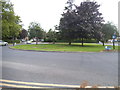
Roundabout on Crowshott Avenue, Stanmore
Image: © David Howard
Taken: 29 May 2014
0.16 miles
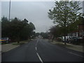
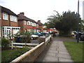
9
Uppingham Avenue, Belmont
Belmont overlaps Stanmore and Harrow either side of Belmont Circle
Image: © David Howard
Taken: 29 May 2014
0.17 miles
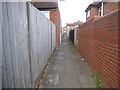
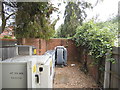
10
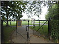
The north entrance to Centenary Park
I don't know what it's the centenary of, but probably something local and royal related.
Image: © David Howard
Taken: 29 May 2014
0.17 miles