IMAGES TAKEN NEAR TO
Mahlon Avenue, RUISLIP, HA4 6TE
Introduction
This page details the photographs taken nearby to Mahlon Avenue, HA4 6TE by members of the Geograph project.
The Geograph project started in 2005 with the aim of publishing, organising and preserving representative images for every square kilometre of Great Britain, Ireland and the Isle of Man.

There are currently over 7.5m images from over14,400 individuals and you can help contribute to the project by visiting https://www.geograph.org.uk
Image Map
Images are licensed for reuse under creativecommons.org/licenses/by-sa/2.0
Notes
- Clicking on the map will re-center to the selected point.
- The higher the marker number, the further away the image location is from the centre of the postcode.
Image Listing (42 Images Found)
Images are licensed for reuse under creativecommons.org/licenses/by-sa/2.0
Image
Details
Distance
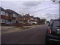
1
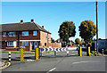
Barrier on Edwards Avenue
Presumably to stop short cutting through the residential streets. I guess it works, but it's very ugly.
Image: © Des Blenkinsopp
Taken: 27 Oct 2017
0.06 miles
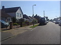
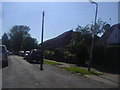
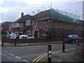
2

Field End Road at the junction of Glebe Avenue
Image: © David Howard
Taken: 16 Aug 2012
0.07 miles
3
South Ruislip: A4180 West End Road
The A4180 runs between Yeading and Northwood.
Image: © Nigel Cox
Taken: 5 May 2008
0.08 miles
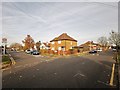
7
London Borough of Hillingdon : West End Road A4180
Heading along West End Road.
Image: © Lewis Clarke
Taken: 23 Mar 2018
0.11 miles
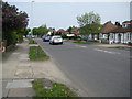
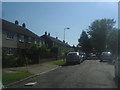
9
Weldon Close at the junction of Glebe Avenue
Image: © David Howard
Taken: 16 Aug 2012
0.12 miles