IMAGES TAKEN NEAR TO
Henson Path, HARROW, HA3 9EX
Introduction
This page details the photographs taken nearby to Henson Path, HA3 9EX by members of the Geograph project.
The Geograph project started in 2005 with the aim of publishing, organising and preserving representative images for every square kilometre of Great Britain, Ireland and the Isle of Man.

There are currently over 7.5m images from over14,400 individuals and you can help contribute to the project by visiting https://www.geograph.org.uk
Image Map
Images are licensed for reuse under creativecommons.org/licenses/by-sa/2.0
Notes
- Clicking on the map will re-center to the selected point.
- The higher the marker number, the further away the image location is from the centre of the postcode.
Image Listing (41 Images Found)
Images are licensed for reuse under creativecommons.org/licenses/by-sa/2.0
Image
Details
Distance
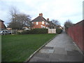
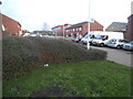
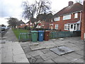
8
Modern building on Kenmore Road, Kenton
It's not a school, and may be a care home but there aren't any signs to know.
Image: © David Howard
Taken: 23 Dec 2015
0.05 miles
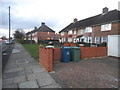
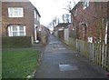
10
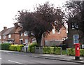
Houses in Kenmore Road
Shows the location of Image
Image: © Mike Quinn
Taken: 21 Aug 2008
0.07 miles