IMAGES TAKEN NEAR TO
Brampton Grove, HARROW, HA3 8LE
Introduction
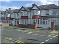
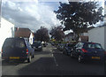
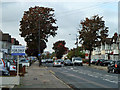
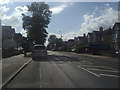
This page details the photographs taken nearby to Brampton Grove, HA3 8LE by members of the Geograph project.
The Geograph project started in 2005 with the aim of publishing, organising and preserving representative images for every square kilometre of Great Britain, Ireland and the Isle of Man.

There are currently over 7.5m images from over14,400 individuals and you can help contribute to the project by visiting https://www.geograph.org.uk
Image Map (Loading...)


Getting Data...Please wait
Leaflet Map data © OpenStreetMap
Images are licensed for reuse under creativecommons.org/licenses/by-sa/2.0
Notes
- Clicking on the map will re-center to the selected point.
- The higher the marker number, the further away the image location is from the centre of the postcode.
Image Listing (35 Images Found)
Images are licensed for reuse under creativecommons.org/licenses/by-sa/2.0
Image
Details
Distance
10
Christchurch Avenue, Harrow
The house on the left was totally rebuilt in 2009, while where the garden is now housed a bungalow which was demolished. You can see the new foundations going in for something else.
Image: © David Howard
Taken: 7 Feb 2017
0.17 miles