IMAGES TAKEN NEAR TO
Sefton Avenue, HARROW, HA3 5JT
Introduction
This page details the photographs taken nearby to Sefton Avenue, HA3 5JT by members of the Geograph project.
The Geograph project started in 2005 with the aim of publishing, organising and preserving representative images for every square kilometre of Great Britain, Ireland and the Isle of Man.

There are currently over 7.5m images from over14,400 individuals and you can help contribute to the project by visiting https://www.geograph.org.uk
Image Map
Images are licensed for reuse under creativecommons.org/licenses/by-sa/2.0
Notes
- Clicking on the map will re-center to the selected point.
- The higher the marker number, the further away the image location is from the centre of the postcode.
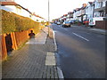
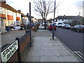
Image Listing (17 Images Found)
Images are licensed for reuse under creativecommons.org/licenses/by-sa/2.0
Image
Details
Distance
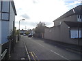
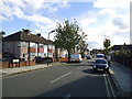
1
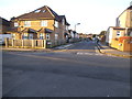
Sefton Avenue at the junction of Stanhope Avenue
Image: © David Howard
Taken: 9 Jan 2014
0.04 miles
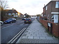
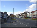
6
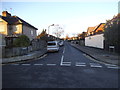
Windsor Road at the junction of Weald Lane
Most suburban roads in Middlesex look pretty much like these, and were built to supply the new industry from the 1930s onwards which followed the Metropolitan Railway.
Image: © David Howard
Taken: 9 Jan 2014
0.13 miles