IMAGES TAKEN NEAR TO
Weald Lane, HARROW, HA3 5HE
Introduction
This page details the photographs taken nearby to Weald Lane, HA3 5HE by members of the Geograph project.
The Geograph project started in 2005 with the aim of publishing, organising and preserving representative images for every square kilometre of Great Britain, Ireland and the Isle of Man.

There are currently over 7.5m images from over14,400 individuals and you can help contribute to the project by visiting https://www.geograph.org.uk
Image Map
Images are licensed for reuse under creativecommons.org/licenses/by-sa/2.0
Notes
- Clicking on the map will re-center to the selected point.
- The higher the marker number, the further away the image location is from the centre of the postcode.
Image Listing (31 Images Found)
Images are licensed for reuse under creativecommons.org/licenses/by-sa/2.0
Image
Details
Distance
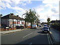
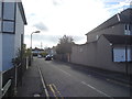
2
Sefton Avenue at the junction of Stanhope Avenue
Image: © David Howard
Taken: 9 Jan 2014
0.09 miles
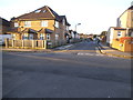
4
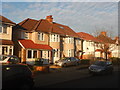
Harrow - Whitefriars Drive
Pebble dashed semi-detached prewar houses that are part of the huge urban sprawl of London.
Image: © James Emmans
Taken: 18 Jan 2017
0.14 miles
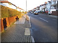
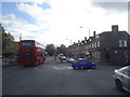
5

The side of the NatWest bank on Long Elmes
The front is on Harrow Weald High Street
Image: © David Howard
Taken: 9 Jan 2014
0.15 miles
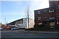
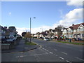
8
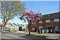
Spring blossom on Long Elmes, Harrow Weald
Image: © David Howard
Taken: 23 Apr 2021
0.17 miles