IMAGES TAKEN NEAR TO
Vicarage Way, HARROW, HA2 7JA
Introduction
This page details the photographs taken nearby to Vicarage Way, HA2 7JA by members of the Geograph project.
The Geograph project started in 2005 with the aim of publishing, organising and preserving representative images for every square kilometre of Great Britain, Ireland and the Isle of Man.

There are currently over 7.5m images from over14,400 individuals and you can help contribute to the project by visiting https://www.geograph.org.uk
Image Map
Images are licensed for reuse under creativecommons.org/licenses/by-sa/2.0
Notes
- Clicking on the map will re-center to the selected point.
- The higher the marker number, the further away the image location is from the centre of the postcode.
Image Listing (16 Images Found)
Images are licensed for reuse under creativecommons.org/licenses/by-sa/2.0
Image
Details
Distance
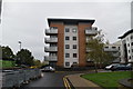
1
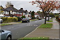
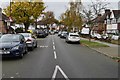
Imperial Drive junction of Village Way
Image: © David Howard
Taken: 22 Apr 2008
0.18 miles
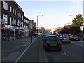
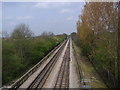
2
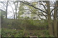
Westbound Tube lines, The Ridgeway West Harrow
Image: © David Howard
Taken: 22 Apr 2008
0.19 miles
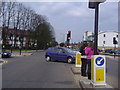
6
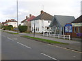
Elmfield Church, Imperial Drive
Elmfield Church is seen here from the central reservation of Imperial Drive. The church describes itself as "a friendly and growing multi-cultural evangelical church in North Harrow." For more information see http://www.elmfield.org/
Image: © Marathon
Taken: 23 Dec 2015
0.21 miles
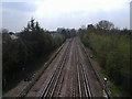
8
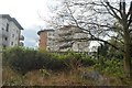
Eastbound Tube lines, The Ridgeway West Harrow
Image: © David Howard
Taken: 22 Apr 2008
0.22 miles