IMAGES TAKEN NEAR TO
Karma Way, HARROW, HA2 0WG
Introduction
This page details the photographs taken nearby to Karma Way, HA2 0WG by members of the Geograph project.
The Geograph project started in 2005 with the aim of publishing, organising and preserving representative images for every square kilometre of Great Britain, Ireland and the Isle of Man.

There are currently over 7.5m images from over14,400 individuals and you can help contribute to the project by visiting https://www.geograph.org.uk
Image Map
Images are licensed for reuse under creativecommons.org/licenses/by-sa/2.0
Notes
- Clicking on the map will re-center to the selected point.
- The higher the marker number, the further away the image location is from the centre of the postcode.
Image Listing (34 Images Found)
Images are licensed for reuse under creativecommons.org/licenses/by-sa/2.0
Image
Details
Distance
3
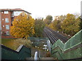
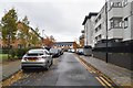
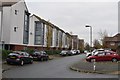
The railway line by Karma Way, West Harrow
Image: © David Howard
Taken: 20 Nov 2013
0.03 miles
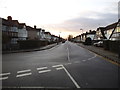
5
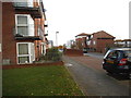
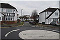
Karma Way, Rayners Lane
Rayners Lane is a long and winding road and gives its name to the area and its station
Image: © David Howard
Taken: 20 Nov 2013
0.05 miles
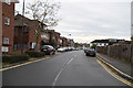
6
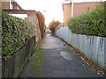
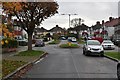
Path over the railway from Welbeck Road
Leading to Rayners Lane, you can just see the railway at the end
Image: © David Howard
Taken: 20 Nov 2013
0.05 miles