IMAGES TAKEN NEAR TO
Pavilion Lodge, Lower Road, HARROW, HA2 0DZ
Introduction
This page details the photographs taken nearby to Pavilion Lodge, Lower Road, HA2 0DZ by members of the Geograph project.
The Geograph project started in 2005 with the aim of publishing, organising and preserving representative images for every square kilometre of Great Britain, Ireland and the Isle of Man.

There are currently over 7.5m images from over14,400 individuals and you can help contribute to the project by visiting https://www.geograph.org.uk
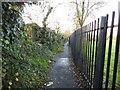
Image Map (Loading...)


Getting Data...Please wait
Leaflet Map data © OpenStreetMap
Images are licensed for reuse under creativecommons.org/licenses/by-sa/2.0
Notes
- Clicking on the map will re-center to the selected point.
- The higher the marker number, the further away the image location is from the centre of the postcode.
Image Listing (45 Images Found)
Images are licensed for reuse under creativecommons.org/licenses/by-sa/2.0
Image
Details
Distance
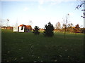
1
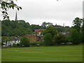
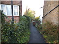
Playing Fields off Lower Road, Harrow
Looking towards West Street and Harrow on the Hill.
Image: © Danny P Robinson
Taken: 21 May 2006
0.05 miles
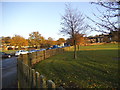
2
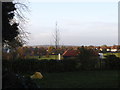
Playing fields by Bessborough Road, Harrow
Image: © David Howard
Taken: 20 Nov 2013
0.06 miles
6
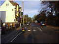
London Borough of Harrow : Dudley Gardens
Looking along Dudley Gardens from Lower Road.
Image: © Lewis Clarke
Taken: 18 Jul 2019
0.10 miles
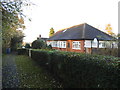
7
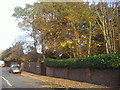
Trees by Middle Road, Harrow on the Hill
Image: © David Howard
Taken: 27 Oct 2009
0.11 miles
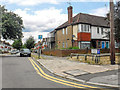
8
John Lyon school fields by West Street, Harrow
Image: © David Howard
Taken: 20 Nov 2013
0.11 miles
9
Playing fields by Bessborough Road, Harrow
Image: © David Howard
Taken: 20 Nov 2013
0.12 miles