IMAGES TAKEN NEAR TO
Birtley Green, GUILDFORD, GU5 0LE
Introduction
This page details the photographs taken nearby to Birtley Green, GU5 0LE by members of the Geograph project.
The Geograph project started in 2005 with the aim of publishing, organising and preserving representative images for every square kilometre of Great Britain, Ireland and the Isle of Man.

There are currently over 7.5m images from over14,400 individuals and you can help contribute to the project by visiting https://www.geograph.org.uk
Image Map
Images are licensed for reuse under creativecommons.org/licenses/by-sa/2.0
Notes
- Clicking on the map will re-center to the selected point.
- The higher the marker number, the further away the image location is from the centre of the postcode.
Image Listing (44 Images Found)
Images are licensed for reuse under creativecommons.org/licenses/by-sa/2.0
Image
Details
Distance
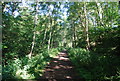

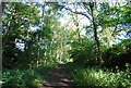
5
Woodland by the A281 south of Birtley Green
Image: © N Chadwick
Taken: 3 Apr 2012
0.09 miles
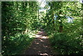
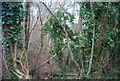
8
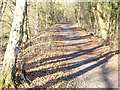
Wey South Path
The former trackbed of the Guildford - Cranleigh railway is on a wooded embankment here. It is followed here by both the Downs Link and the Wey South Paths.
Image: © Colin Smith
Taken: 28 Dec 2008
0.11 miles
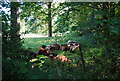
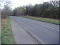
10
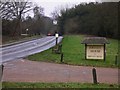
Looking south on the A281 towards Birtley Green
Image: © Shazz
Taken: 1 Feb 2011
0.12 miles