Wey South Path
Introduction
The photograph on this page of Wey South Path by Colin Smith as part of the Geograph project.
The Geograph project started in 2005 with the aim of publishing, organising and preserving representative images for every square kilometre of Great Britain, Ireland and the Isle of Man.

There are currently over 7.5m images from over 14,400 individuals and you can help contribute to the project by visiting https://www.geograph.org.uk
Wey South Path
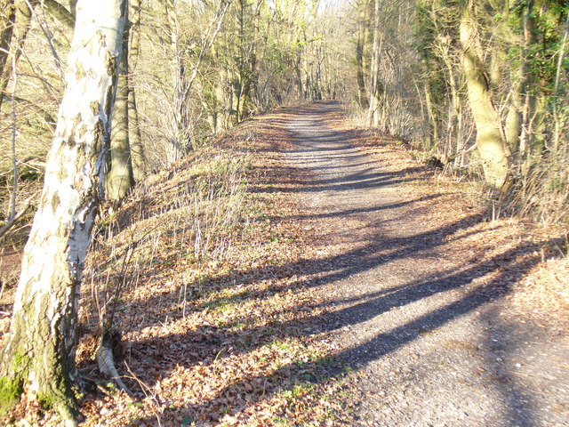
Image: © Colin Smith Taken: 28 Dec 2008
The former trackbed of the Guildford - Cranleigh railway is on a wooded embankment here. It is followed here by both the Downs Link and the Wey South Paths.
Images are licensed for reuse under creativecommons.org/licenses/by-sa/2.0
Image Location
Latitude
51.17969
Longitude
-0.544128