
IMAGES TAKEN NEAR TO
Petersfield Road, BORDON, GU35 9BH
Introduction
This page details the photographs taken nearby to Petersfield Road, GU35 9BH by members of the Geograph project.
The Geograph project started in 2005 with the aim of publishing, organising and preserving representative images for every square kilometre of Great Britain, Ireland and the Isle of Man.

There are currently over 7.5m images from over14,400 individuals and you can help contribute to the project by visiting https://www.geograph.org.uk
Image Map
Images are licensed for reuse under creativecommons.org/licenses/by-sa/2.0
Notes
- Clicking on the map will re-center to the selected point.
- The higher the marker number, the further away the image location is from the centre of the postcode.
Image Listing (11 Images Found)
Images are licensed for reuse under creativecommons.org/licenses/by-sa/2.0
Image
Details
Distance
1
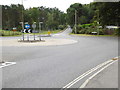
Shipwrights' Way 54
The roundabout at the crossing of Petersfield and Liphook Roads is reached and the route goes straight over.
Image: © Shazz
Taken: 21 Aug 2016
0.06 miles
2
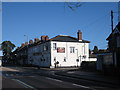
The Roadmaker, Whitehill
Gurkha restaurant, formerly the Prince of Wales pub.
Image: © David960
Taken: 1 Feb 2014
0.09 miles
3
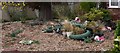
Pigs in Lemon Grove in Whitehill
This is an unusual garden.
Image: © Shazz
Taken: 9 Oct 2009
0.12 miles
4
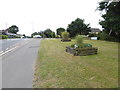
Shipwrights' Way 53
The top of the rise is reached.
Image: © Shazz
Taken: 21 Aug 2016
0.14 miles
5
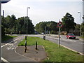
Whitehill
south of the town, looking south.
Image: © Ray Stanton
Taken: 6 Sep 2006
0.14 miles
6
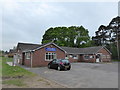
2016: a year on Geograph (Day 134)
Also see http://www.whitehillvillagehall.co.uk/
Image: © Basher Eyre
Taken: 13 May 2016
0.16 miles
8
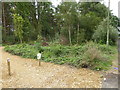
Shipwrights' Way 55
This next stretch of the route is finally open nearly three and a half years since the inaugural walk in March 2013!
Image: © Shazz
Taken: 21 Aug 2016
0.21 miles
9
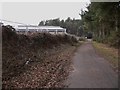
Pathway on MoD land near Whitehill
The road at the end is the A325. On the left is a ruined building (see http://www.geograph.org.uk/photo/1702914 ).
Image: © Shazz
Taken: 10 Feb 2010
0.22 miles
10
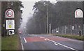
The approach to Whitehill
The road is the A325. In the distance can be seen the roundabout in the original geograph for this square (http://www.geograph.org.uk/photo/234572 ) which was taken in better weather conditions and from the opposite direction.
Image: © Shazz
Taken: 10 Feb 2010
0.22 miles