The approach to Whitehill
Introduction
The photograph on this page of The approach to Whitehill by Shazz as part of the Geograph project.
The Geograph project started in 2005 with the aim of publishing, organising and preserving representative images for every square kilometre of Great Britain, Ireland and the Isle of Man.

There are currently over 7.5m images from over 14,400 individuals and you can help contribute to the project by visiting https://www.geograph.org.uk
The approach to Whitehill
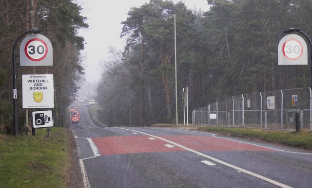
Image: © Shazz Taken: 10 Feb 2010
The road is the A325. In the distance can be seen the roundabout in the original geograph for this square (http://www.geograph.org.uk/photo/234572 ) which was taken in better weather conditions and from the opposite direction.
Images are licensed for reuse under creativecommons.org/licenses/by-sa/2.0
Image Location
Latitude
51.097609
Longitude
-0.871612