
IMAGES TAKEN NEAR TO
Upperton, PETWORTH, GU28 9BG
Introduction
This page details the photographs taken nearby to GU28 9BG by members of the Geograph project.
The Geograph project started in 2005 with the aim of publishing, organising and preserving representative images for every square kilometre of Great Britain, Ireland and the Isle of Man.

There are currently over 7.5m images from over14,400 individuals and you can help contribute to the project by visiting https://www.geograph.org.uk
Image Map
Images are licensed for reuse under creativecommons.org/licenses/by-sa/2.0
Notes
- Clicking on the map will re-center to the selected point.
- The higher the marker number, the further away the image location is from the centre of the postcode.
Image Listing (41 Images Found)
Images are licensed for reuse under creativecommons.org/licenses/by-sa/2.0
Image
Details
Distance
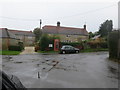
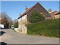
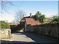
4
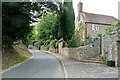
Eastern approach to Upperton
If you come out of the western (pedestrian) gate of Petworth Park you come to the road here, as it climbs into Upperton.
Image: © Graham Horn
Taken: 2 Aug 2010
0.05 miles
5

Entrance to Upperton House
Pair of 17th century cottages with a barn, now a single property. Once the Queen's Head pub.
Image: © David960
Taken: 16 Mar 2014
0.06 miles
6
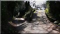
Track south of Upperton with footpath through "Woodgers"
Image: © Shazz
Taken: 20 Mar 2009
0.07 miles
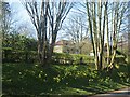
8
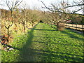
Avenue of trees guarding footpath at Upperton
If these are Cherry trees it will make a fine picture
Image: © Dave Spicer
Taken: 27 Dec 2009
0.08 miles
10
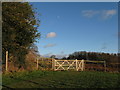
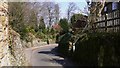
Gate brightened by the afternoon sun
And also the Moon
Image: © Dave Spicer
Taken: 27 Dec 2009
0.09 miles