Eastern approach to Upperton
Introduction
The photograph on this page of Eastern approach to Upperton by Graham Horn as part of the Geograph project.
The Geograph project started in 2005 with the aim of publishing, organising and preserving representative images for every square kilometre of Great Britain, Ireland and the Isle of Man.

There are currently over 7.5m images from over 14,400 individuals and you can help contribute to the project by visiting https://www.geograph.org.uk
Eastern approach to Upperton
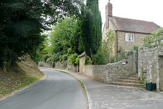
Image: © Graham Horn Taken: 2 Aug 2010
If you come out of the western (pedestrian) gate of Petworth Park you come to the road here, as it climbs into Upperton.
Images are licensed for reuse under creativecommons.org/licenses/by-sa/2.0
Image Location
Latitude
50.995731
Longitude
-0.636249