IMAGES TAKEN NEAR TO
Rowans Close, FARNBOROUGH, GU14 9EJ
Introduction
This page details the photographs taken nearby to Rowans Close, GU14 9EJ by members of the Geograph project.
The Geograph project started in 2005 with the aim of publishing, organising and preserving representative images for every square kilometre of Great Britain, Ireland and the Isle of Man.

There are currently over 7.5m images from over14,400 individuals and you can help contribute to the project by visiting https://www.geograph.org.uk
Image Map
Images are licensed for reuse under creativecommons.org/licenses/by-sa/2.0
Notes
- Clicking on the map will re-center to the selected point.
- The higher the marker number, the further away the image location is from the centre of the postcode.
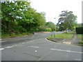
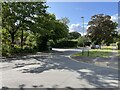
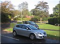
Image Listing (149 Images Found)
Images are licensed for reuse under creativecommons.org/licenses/by-sa/2.0
Image
Details
Distance
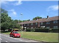
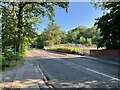
1
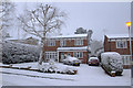
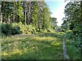
The top of Rowans Close, part of the Woodlands Walk Estate
This photograph was taken on the morning of February 8, 2007 during the first and only "proper" snow fall of the season. Rowans Close is part of the Woodlands Walk estate and is on the edge of Hawley Wood.
Image: © Richard Pullan
Taken: 8 Feb 2007
0.04 miles