The top of Rowans Close, part of the Woodlands Walk Estate
Introduction
The photograph on this page of The top of Rowans Close, part of the Woodlands Walk Estate by Richard Pullan as part of the Geograph project.
The Geograph project started in 2005 with the aim of publishing, organising and preserving representative images for every square kilometre of Great Britain, Ireland and the Isle of Man.

There are currently over 7.5m images from over 14,400 individuals and you can help contribute to the project by visiting https://www.geograph.org.uk
The top of Rowans Close, part of the Woodlands Walk Estate
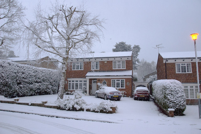
Image: © Richard Pullan Taken: 8 Feb 2007
This photograph was taken on the morning of February 8, 2007 during the first and only "proper" snow fall of the season. Rowans Close is part of the Woodlands Walk estate and is on the edge of Hawley Wood.
Images are licensed for reuse under creativecommons.org/licenses/by-sa/2.0
Image Location
Latitude
51.315285
Longitude
-0.779183