
IMAGES TAKEN NEAR TO
Cherry Tree Lane, CIRENCESTER, GL7 5DT
Introduction
This page details the photographs taken nearby to Cherry Tree Lane, GL7 5DT by members of the Geograph project.
The Geograph project started in 2005 with the aim of publishing, organising and preserving representative images for every square kilometre of Great Britain, Ireland and the Isle of Man.

There are currently over 7.5m images from over14,400 individuals and you can help contribute to the project by visiting https://www.geograph.org.uk
Image Map
Images are licensed for reuse under creativecommons.org/licenses/by-sa/2.0
Notes
- Clicking on the map will re-center to the selected point.
- The higher the marker number, the further away the image location is from the centre of the postcode.
Image Listing (28 Images Found)
Images are licensed for reuse under creativecommons.org/licenses/by-sa/2.0
Image
Details
Distance
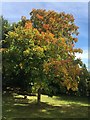
2
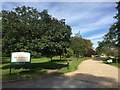
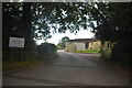
Hunters Care Centre
Driveway to Hunters Care Centre, Cirencester.
Image: © Alan Hughes
Taken: 14 Sep 2019
0.06 miles
3
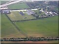
Chinook helicopter heading to South Cerney Airfield
View from an air balloon - Chinook Helicopter heading to South Cerney Airfield.
Image: © Peter Randall-Cook
Taken: 29 Sep 2003
0.07 miles
4
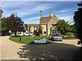
Hunters Care Centre
Care Centre near Cirencester.
Image: © Alan Hughes
Taken: 14 Sep 2019
0.07 miles
6
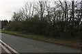
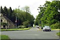
The B4425 at the junction of Stow Road
Image: © David Howard
Taken: 14 Mar 2020
0.11 miles
8
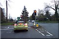
Traffic lights at Fosse Corner, near Cirencester.
Image: © Jonathan Billinger
Taken: 27 Nov 2006
0.11 miles
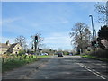
10

Pasture Field near Cirencester
The trees hide a large road junction where the A429 intersects with the A419 just north east of the town. This field is in a triangle formed by these two roads and the old Fosse Way.
Image: © Nigel Mykura
Taken: 17 Jun 2012
0.12 miles