Pasture Field near Cirencester
Introduction
The photograph on this page of Pasture Field near Cirencester by Nigel Mykura as part of the Geograph project.
The Geograph project started in 2005 with the aim of publishing, organising and preserving representative images for every square kilometre of Great Britain, Ireland and the Isle of Man.

There are currently over 7.5m images from over 14,400 individuals and you can help contribute to the project by visiting https://www.geograph.org.uk
Pasture Field near Cirencester
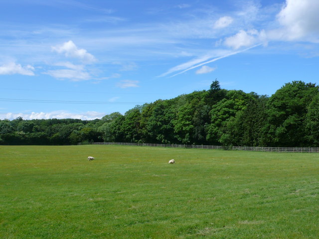
Image: © Nigel Mykura Taken: 17 Jun 2012
The trees hide a large road junction where the A429 intersects with the A419 just north east of the town. This field is in a triangle formed by these two roads and the old Fosse Way.
Images are licensed for reuse under creativecommons.org/licenses/by-sa/2.0
Image Location
Latitude
51.723279
Longitude
-1.945519