
IMAGES TAKEN NEAR TO
Gloucester Road, COLEFORD, GL16 8BN
Introduction
This page details the photographs taken nearby to Gloucester Road, GL16 8BN by members of the Geograph project.
The Geograph project started in 2005 with the aim of publishing, organising and preserving representative images for every square kilometre of Great Britain, Ireland and the Isle of Man.

There are currently over 7.5m images from over14,400 individuals and you can help contribute to the project by visiting https://www.geograph.org.uk
Image Map
Images are licensed for reuse under creativecommons.org/licenses/by-sa/2.0
Notes
- Clicking on the map will re-center to the selected point.
- The higher the marker number, the further away the image location is from the centre of the postcode.
Image Listing (28 Images Found)
Images are licensed for reuse under creativecommons.org/licenses/by-sa/2.0
Image
Details
Distance
1
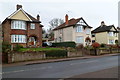
Detached houses, Gloucester Road, Coleford
Viewed from the corner of Pike Road in the NE of Coleford.
Image: © Jaggery
Taken: 11 Dec 2011
0.04 miles
2
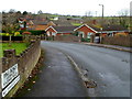
Pike Road leading to Poolway Place, Coleford
Viewed from Gloucester Road in the NE of Coleford.
Image: © Jaggery
Taken: 11 Dec 2011
0.06 miles
3
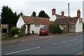
Poolway House Hotel, Coleford
Name boards state that this Gloucester Road hotel is an original oak-beamed 16th century manor.
Image: © Jaggery
Taken: 11 Dec 2011
0.07 miles
4
A Coleford Cat
Enjoying a bit of unseasonal February sunshine on the steps of the Mount of Olives Church.
Image: © Des Blenkinsopp
Taken: 9 Feb 2015
0.08 miles
5
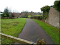
Public footpath to Poolway Farm, Coleford
The path heads away from Gloucester Road in the NE of Coleford.
Image: © Jaggery
Taken: 11 Dec 2011
0.09 miles
6
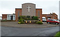
Mount of Olives church, Coleford
The Assemblies of God Pentecostal church is located in The Crescent on the SE side of Gloucester Road.
Image: © Jaggery
Taken: 11 Dec 2011
0.09 miles
7
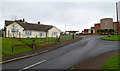
The Crescent, Coleford
A view from Gloucester Road along The Crescent towards the Mount of Olives church. http://www.geograph.org.uk/photo/3241463
Image: © Jaggery
Taken: 11 Dec 2011
0.09 miles
8
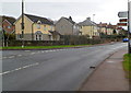
Places to go from NE Coleford
Signs alongside the B4028 point left towards the B4226. http://www.geograph.org.uk/photo/3241654 Places shown are Broadwell ½ mile, Speech House 2½, Cinderford 6, Hopewell Colliery 1½ and Dean Heritage Centre 7 miles.
Image: © Jaggery
Taken: 11 Dec 2011
0.10 miles
9
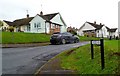
Sarnedge Road, Coleford
Viewed from the edge of The Crescent near Gloucester Road.
Strangely, several maps show Sarnedy Road. The street name sign disagrees.
Image: © Jaggery
Taken: 11 Dec 2011
0.10 miles
10
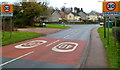
NE boundary of Coleford
The B4028 from Mile End reaches the NE edge of Coleford, a small market town near the western edge of the Forest of Dean, Gloucestershire. The town's population on the day of the 2001 Census was 8,351.
Image: © Jaggery
Taken: 11 Dec 2011
0.12 miles