Sarnedge Road, Coleford
Introduction
The photograph on this page of Sarnedge Road, Coleford by Jaggery as part of the Geograph project.
The Geograph project started in 2005 with the aim of publishing, organising and preserving representative images for every square kilometre of Great Britain, Ireland and the Isle of Man.

There are currently over 7.5m images from over 14,400 individuals and you can help contribute to the project by visiting https://www.geograph.org.uk
Sarnedge Road, Coleford
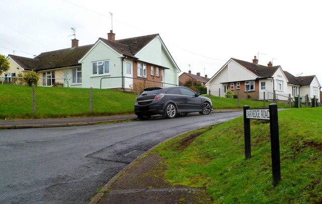
Image: © Jaggery Taken: 11 Dec 2011
Viewed from the edge of The Crescent near Gloucester Road. Strangely, several maps show Sarnedy Road. The street name sign disagrees.
Images are licensed for reuse under creativecommons.org/licenses/by-sa/2.0
Image Location
Latitude
51.795422
Longitude
-2.61244