
IMAGES TAKEN NEAR TO
Ardencaple Quadrant, HELENSBURGH, G84 8DR
Introduction
This page details the photographs taken nearby to Ardencaple Quadrant, G84 8DR by members of the Geograph project.
The Geograph project started in 2005 with the aim of publishing, organising and preserving representative images for every square kilometre of Great Britain, Ireland and the Isle of Man.

There are currently over 7.5m images from over14,400 individuals and you can help contribute to the project by visiting https://www.geograph.org.uk
Image Map
Images are licensed for reuse under creativecommons.org/licenses/by-sa/2.0
Notes
- Clicking on the map will re-center to the selected point.
- The higher the marker number, the further away the image location is from the centre of the postcode.
Image Listing (41 Images Found)
Images are licensed for reuse under creativecommons.org/licenses/by-sa/2.0
Image
Details
Distance
1
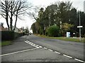
Rhu Road Higher
The woodland on the right is the southern end of Duchess Wood. Woodend Street is to the left.
Image: © Richard Sutcliffe
Taken: 27 Jan 2022
0.10 miles
3
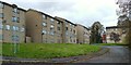
Jutland Court
The photograph was taken from West King Street. At the time of writing, these flats, which were built in the 1960s, are mostly (but not entirely) unoccupied, and they are set to be either refurbished or demolished.
Image: © Lairich Rig
Taken: 26 Oct 2011
0.13 miles
4
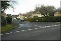
Bannachra Drive
At the junction with Woodend Street. The sign in the hedge says 'Warning Children', but is half hidden and so not really doing its job.
Image: © Richard Sutcliffe
Taken: 27 Jan 2022
0.13 miles
5
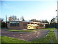
New Sports Centre in West Montrose Street, Helensburgh
Image: © Elliott Simpson
Taken: 8 Nov 2009
0.13 miles
8
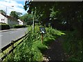
Entrance to Duchess Wood
The picture was taken from the point where West Montrose Street becomes Rhu Road Higher. The wooden signpost gives the distances to the Hill House and to Glen Fruin: Image
Image: © Lairich Rig
Taken: 14 Jul 2015
0.14 miles
9
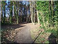
Helensburgh, Footpath
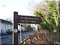
Path leading to "The Hill House" and Glen Fruin
Image: © william craig
Taken: 16 Dec 2005
0.15 miles
10
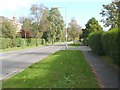
The start of West Montrose Street
The photograph was taken from the junction with Woodend Street, which runs north-south. West Montrose Street begins here (although the road continues west of this point, as Rhu Road Higher).
Image: © Lairich Rig
Taken: 5 Oct 2008
0.16 miles