Jutland Court
Introduction
The photograph on this page of Jutland Court by Lairich Rig as part of the Geograph project.
The Geograph project started in 2005 with the aim of publishing, organising and preserving representative images for every square kilometre of Great Britain, Ireland and the Isle of Man.

There are currently over 7.5m images from over 14,400 individuals and you can help contribute to the project by visiting https://www.geograph.org.uk
Jutland Court
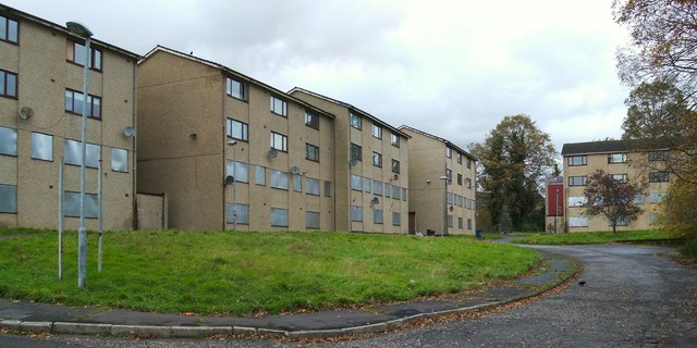
Image: © Lairich Rig Taken: 26 Oct 2011
The photograph was taken from West King Street. At the time of writing, these flats, which were built in the 1960s, are mostly (but not entirely) unoccupied, and they are set to be either refurbished or demolished.
Images are licensed for reuse under creativecommons.org/licenses/by-sa/2.0
Image Location
Latitude
56.00948
Longitude
-4.754309