
IMAGES TAKEN NEAR TO
Croftamie, GLASGOW, G63 0EU
Introduction
This page details the photographs taken nearby to G63 0EU by members of the Geograph project.
The Geograph project started in 2005 with the aim of publishing, organising and preserving representative images for every square kilometre of Great Britain, Ireland and the Isle of Man.

There are currently over 7.5m images from over14,400 individuals and you can help contribute to the project by visiting https://www.geograph.org.uk
Image Map
Images are licensed for reuse under creativecommons.org/licenses/by-sa/2.0
Notes
- Clicking on the map will re-center to the selected point.
- The higher the marker number, the further away the image location is from the centre of the postcode.
Image Listing (73 Images Found)
Images are licensed for reuse under creativecommons.org/licenses/by-sa/2.0
Image
Details
Distance
1
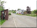
Croftamie
The A809 heading northwards through Croftamie. Taken from the site of a level crossing where the railway from Dumbarton to Stirling ran.
Image: © Richard Webb
Taken: 15 Jun 2010
0.01 miles
4
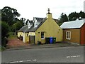
Croftamie Cottage
Old cottage beside the A809 in Croftamie.
Image: © Richard Sutcliffe
Taken: 4 Aug 2023
0.04 miles
5
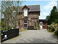
Station House, Croftamie
The original station building from Drymen Station on the Forth and Clyde Junction Railway. The line, which opened in 1856 ran just to the right of the house. It closed to passenger traffic in 1934 and this section of the railway closed to all traffic in 1950.
Image: © Richard Sutcliffe
Taken: 2 Jul 2021
0.04 miles
6
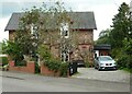
Station House
The original station building from Drymen Station on the Forth and Clyde Junction Railway. The line, which opened in 1856 ran just to the right of the house. It closed to passenger traffic in 1934 and this section of the railway closed to all traffic in 1950.
Image: © Richard Sutcliffe
Taken: 4 Aug 2023
0.04 miles
7
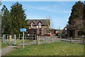
Cycle route passing through Croftamie
Following the line of the dismantled Image (see Image), cycle route NCN 7 crosses the main road through the village at this point. See Image for a similar view.
For a view in the opposite direction, see Image For the building on the far side of the road, see Image
Image: © Lairich Rig
Taken: 30 Mar 2012
0.04 miles
8
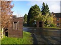
Bus shelters in Croftamie
Image: © Lairich Rig
Taken: 8 Nov 2013
0.04 miles
9

Stoool Bus
Passing through Croftamie on the A809.
Image: © Richard Sutcliffe
Taken: 25 Sep 2025
0.04 miles
10
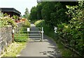
Cycle Way, Croftamie
National Cycle Network Route 7. The route follows the line of the former Forth and Clyde Junction Railway. This was the site of Drymen Station. The line had opened in 1856. It closed to passenger traffic in 1934 and this section closed to all traffic in 1950.
Image: © Richard Sutcliffe
Taken: 2 Jul 2021
0.04 miles