Croftamie
Introduction
The photograph on this page of Croftamie by Richard Webb as part of the Geograph project.
The Geograph project started in 2005 with the aim of publishing, organising and preserving representative images for every square kilometre of Great Britain, Ireland and the Isle of Man.

There are currently over 7.5m images from over 14,400 individuals and you can help contribute to the project by visiting https://www.geograph.org.uk
Croftamie
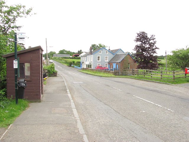
Image: © Richard Webb Taken: 15 Jun 2010
The A809 heading northwards through Croftamie. Taken from the site of a level crossing where the railway from Dumbarton to Stirling ran.
Images are licensed for reuse under creativecommons.org/licenses/by-sa/2.0
Image Location
Latitude
56.045284
Longitude
-4.44597