
IMAGES TAKEN NEAR TO
Leithland Road, GLASGOW, G53 5AY
Introduction
This page details the photographs taken nearby to Leithland Road, G53 5AY by members of the Geograph project.
The Geograph project started in 2005 with the aim of publishing, organising and preserving representative images for every square kilometre of Great Britain, Ireland and the Isle of Man.

There are currently over 7.5m images from over14,400 individuals and you can help contribute to the project by visiting https://www.geograph.org.uk
Image Map
Images are licensed for reuse under creativecommons.org/licenses/by-sa/2.0
Notes
- Clicking on the map will re-center to the selected point.
- The higher the marker number, the further away the image location is from the centre of the postcode.
Image Listing (8 Images Found)
Images are licensed for reuse under creativecommons.org/licenses/by-sa/2.0
Image
Details
Distance
1
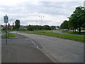
Approaching the roundabout on Brockburn Road
In Pollok, just to the west of the Levern Water.
Image: © Stephen Sweeney
Taken: 25 May 2009
0.09 miles
2
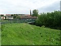
Footbridge over Levern Water
In Pollok, connecting Brockburn Road with Braidcraft Road.
Image: © Stephen Sweeney
Taken: 25 May 2009
0.16 miles
3
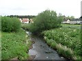
Levern Water
From the footbridge in Pollok.
Image: © Stephen Sweeney
Taken: 25 May 2009
0.18 miles
4
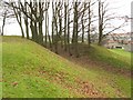
Defensive ditch of Crookston Castle
See the main item, Image, which discusses this defensive ringwork.
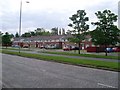
The two closest houses visible in this photo stand on the near side of Brockburn Road, while the remainder of the houses are on its other side.
Image: © Lairich Rig
Taken: 9 Dec 2005
0.23 miles
5
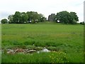
Marsh land and Crookston Castle
Marshy area at the foot of the hill at Crookston Castle.
Image: © Stephen Sweeney
Taken: 25 May 2009
0.24 miles
7
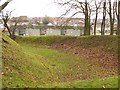
Defensive ditch of Crookston Castle
The ditch is part of a defensive ringwork built for the earlier castle, as discussed in the main item, Image
The nearby houses that appear in this image stand alongside Brockburn Road; they can also be seen, in part, near the lower left corner of this image: Image
Image: © Lairich Rig
Taken: 9 Dec 2005
0.24 miles
8
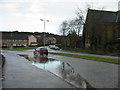
Lyoncross Road, Pollok
This corner always had a puddle when it rained, it may have a drain now.
Image: © Stevie Spiers
Taken: 20 Jan 2005
0.25 miles