Defensive ditch of Crookston Castle
Introduction
The photograph on this page of Defensive ditch of Crookston Castle by Lairich Rig as part of the Geograph project.
The Geograph project started in 2005 with the aim of publishing, organising and preserving representative images for every square kilometre of Great Britain, Ireland and the Isle of Man.

There are currently over 7.5m images from over 14,400 individuals and you can help contribute to the project by visiting https://www.geograph.org.uk
Defensive ditch of Crookston Castle
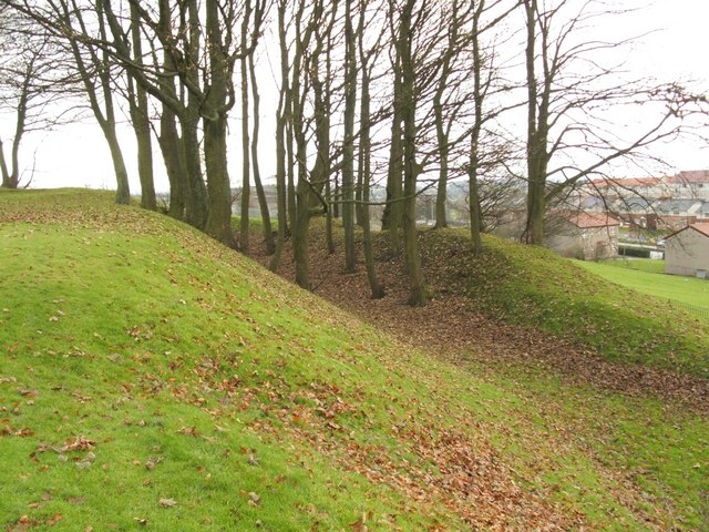
Image: © Lairich Rig Taken: 9 Dec 2005
See the main item, Image, which discusses this defensive ringwork. The two closest houses visible in this photo stand on the near side of Brockburn Road, while the remainder of the houses are on its other side.
Images are licensed for reuse under creativecommons.org/licenses/by-sa/2.0
Image Location
Latitude
55.834574
Longitude
-4.355741