
IMAGES TAKEN NEAR TO
Ashgill Road, GLASGOW, G22 6TB
Introduction
This page details the photographs taken nearby to Ashgill Road, G22 6TB by members of the Geograph project.
The Geograph project started in 2005 with the aim of publishing, organising and preserving representative images for every square kilometre of Great Britain, Ireland and the Isle of Man.

There are currently over 7.5m images from over14,400 individuals and you can help contribute to the project by visiting https://www.geograph.org.uk
Image Map
Images are licensed for reuse under creativecommons.org/licenses/by-sa/2.0
Notes
- Clicking on the map will re-center to the selected point.
- The higher the marker number, the further away the image location is from the centre of the postcode.
Image Listing (17 Images Found)
Images are licensed for reuse under creativecommons.org/licenses/by-sa/2.0
Image
Details
Distance
1
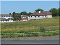
Open space off Berneray Street, Milton, G22
Looking towards houses on Berneray Street. This open space appears never to have been built on.
Image: © Christine Johnstone
Taken: 26 Jun 2019
0.07 miles
2
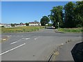
Junction of Westray and Berneray Streets, Milton, G22
It appears from older maps that the open land has never been built on.
Image: © Christine Johnstone
Taken: 26 Jun 2019
0.09 miles
3
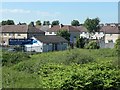
Milton Dental Clinic, Glasgow
At the east end of Haywood Street.
Image: © Christine Johnstone
Taken: 26 Jun 2019
0.09 miles
4

Berneray Street
The houses in the distance are on Ronaldsay Street.
Image: © Richard Sutcliffe
Taken: 19 Jan 2023
0.11 miles
5
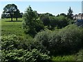
Dismantled railway, west of Ashfield Street, Glasgow
The former Lanarkshire and Dumbartonshire section [LMSR], just west of the former Possil Junction.
Image: © Christine Johnstone
Taken: 26 Jun 2019
0.12 miles
6

Footpath between Berneray and Ronaldsay Streets
With a handrail to help with the slope.
Image: © Christine Johnstone
Taken: 26 Jun 2019
0.12 miles
7
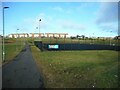
Path beside the playing fields
The path runs from Berneray Street to the Glasgow Club Milton, Milton Library and St Monica's Primary School on Liddesdale Road. On the right is a synthetic pitch - one of the facilities provided by Glasgow Club Milton.
Image: © Richard Sutcliffe
Taken: 19 Jan 2023
0.12 miles
8
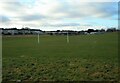
Playing fields
Glasgow Club Milton playing fields.
Image: © Richard Sutcliffe
Taken: 19 Jan 2023
0.14 miles
9

Disused railway line
A cutting beneath Ashfield Street which has become overgrown or an informal landfill.
Image: © Richard Webb
Taken: 9 May 2012
0.15 miles
10
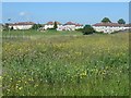
Houses on Ronaldsay Street, Milton, G22
Looking north from Westray Street.
Image: © Christine Johnstone
Taken: 26 Jun 2019
0.17 miles