Dismantled railway, west of Ashfield Street, Glasgow
Introduction
The photograph on this page of Dismantled railway, west of Ashfield Street, Glasgow by Christine Johnstone as part of the Geograph project.
The Geograph project started in 2005 with the aim of publishing, organising and preserving representative images for every square kilometre of Great Britain, Ireland and the Isle of Man.

There are currently over 7.5m images from over 14,400 individuals and you can help contribute to the project by visiting https://www.geograph.org.uk
Dismantled railway, west of Ashfield Street, Glasgow
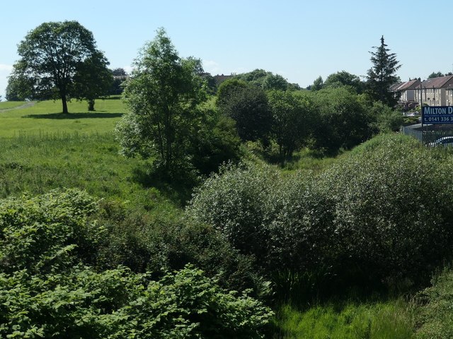
Image: © Christine Johnstone Taken: 26 Jun 2019
The former Lanarkshire and Dumbartonshire section [LMSR], just west of the former Possil Junction.
Images are licensed for reuse under creativecommons.org/licenses/by-sa/2.0
Image Location
Latitude
55.89157
Longitude
-4.249319