
IMAGES TAKEN NEAR TO
Sheepwash, BEAWORTHY, EX21 5NX
Introduction
This page details the photographs taken nearby to EX21 5NX by members of the Geograph project.
The Geograph project started in 2005 with the aim of publishing, organising and preserving representative images for every square kilometre of Great Britain, Ireland and the Isle of Man.

There are currently over 7.5m images from over14,400 individuals and you can help contribute to the project by visiting https://www.geograph.org.uk
Image Map
Images are licensed for reuse under creativecommons.org/licenses/by-sa/2.0
Notes
- Clicking on the map will re-center to the selected point.
- The higher the marker number, the further away the image location is from the centre of the postcode.
Image Listing (13 Images Found)
Images are licensed for reuse under creativecommons.org/licenses/by-sa/2.0
Image
Details
Distance
1
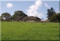
Barton Farm
An interesting building with attached barn and farmhouse, "C17 possibly with earlier origins" http://list.english-heritage.org.uk/resultsingle.aspx?uid=1165816&searchtype=mapsearch . Seen from the lane east from Sheepwash Bridge.
Image: © Derek Harper
Taken: 4 Oct 2007
0.03 miles
2

Field near Sheepwash Bridge
A small tributary of the Torridge runs through trees along the far side of this long narrow field; the field boundaries that once divided it are still shown on the 1:25000 sheet. Seen from a gateway at the junction of the lane from Highampton to Sheepwash with the minor lane to Black Torrington.
Image: © Derek Harper
Taken: 23 Aug 2007
0.08 miles
3
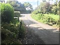
Sheepwash Ford
This low lying road is marked as liable to flooding.
Image: © John Walton
Taken: 28 Sep 2018
0.10 miles
4
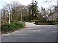
A road junction known as Sheepwash Bridge
Image: © Roger A Smith
Taken: 21 Apr 2010
0.11 miles
5
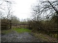
Field gate near Sheepwash
Seen from the road, which follows the river bank; there is a narrow woodland each side of the road, hence the gate being set back from the road
Image: © David Smith
Taken: 21 Mar 2019
0.13 miles
6

Crossing Sheepwash Bridge
I quote from a local history (Devon Perspectives):
"Sheepwash Bridge across the Torridge to the south of the village was built in the 17th century. After the only son of the wealthy local landowner John Tosbury was swept away while crossing the ford when the river was in spate, his grief-stricken father underwrote the building and maintenance of a bridge in memory of his drowned son.
By 1695 trustees had been appointed to secure the upkeep of the bridge. As the income from the Tosbury estates proved more than sufficient to maintain the bridge, John gave instructions that the surplus be used for the benefit of the people of Sheepwash. So the Bridgeland Trust was born and to this day it provides for deserving cases of hardship in the community, as well as going towards the upkeep of the church and chapel."
Image: © Fernweh
Taken: 29 Oct 2015
0.14 miles
7
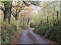
Lane south of River Torridge
Between Sheepwash and Hatherleigh.
Image: © Fernweh
Taken: 29 Oct 2015
0.14 miles
9

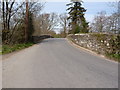
Sheepwash Bridge as seen from downstream Bridge on the river Torridge
Image: © Roger A Smith
Taken: 21 Apr 2010
0.14 miles
10
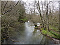
The view upstream from Sheepwash Bridge on the river Torridge
Image: © Roger A Smith
Taken: 21 Apr 2010
0.17 miles