
IMAGES TAKEN NEAR TO
Barnet Road, POTTERS BAR, EN6 2SE
Introduction
This page details the photographs taken nearby to Barnet Road, EN6 2SE by members of the Geograph project.
The Geograph project started in 2005 with the aim of publishing, organising and preserving representative images for every square kilometre of Great Britain, Ireland and the Isle of Man.

There are currently over 7.5m images from over14,400 individuals and you can help contribute to the project by visiting https://www.geograph.org.uk
Image Map
Images are licensed for reuse under creativecommons.org/licenses/by-sa/2.0
Notes
- Clicking on the map will re-center to the selected point.
- The higher the marker number, the further away the image location is from the centre of the postcode.
Image Listing (11 Images Found)
Images are licensed for reuse under creativecommons.org/licenses/by-sa/2.0
Image
Details
Distance
1
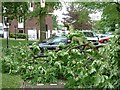
Oops !
Fairly high winds on the night of 18/19 May 2006 brought this limb of a Horse Chestnut tree crashing down on a car parked in the car park for this building (which I think is a residential home - it is next to the small hospital here).
Image: © Rob Farrow
Taken: 19 May 2006
0.02 miles
2
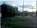
Great North Road, Potters Bar
Heading to Barnet and London beyond.
Image: © David Howard
Taken: 19 Oct 2011
0.04 miles
5
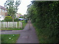
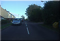
Cherry Tree Lane
Public footpath along the edge of the council estate.
Image: © David Howard
Taken: 21 May 2009
0.15 miles
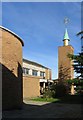
10
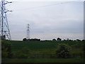
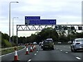
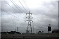
Farmland and pylons south of the M25 near Chase Farm
Image: © Colin Pyle
Taken: 18 May 2012
0.24 miles