
IMAGES TAKEN NEAR TO
Bosworth Road, BARNET, EN5 5NA
Introduction
This page details the photographs taken nearby to Bosworth Road, EN5 5NA by members of the Geograph project.
The Geograph project started in 2005 with the aim of publishing, organising and preserving representative images for every square kilometre of Great Britain, Ireland and the Isle of Man.

There are currently over 7.5m images from over14,400 individuals and you can help contribute to the project by visiting https://www.geograph.org.uk
Image Map
Images are licensed for reuse under creativecommons.org/licenses/by-sa/2.0
Notes
- Clicking on the map will re-center to the selected point.
- The higher the marker number, the further away the image location is from the centre of the postcode.
Image Listing (43 Images Found)
Images are licensed for reuse under creativecommons.org/licenses/by-sa/2.0
Image
Details
Distance
1
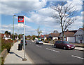
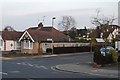
Meadway, Barnet
The bus stop says King Edward Road which is just off to the right.
This would no doubt be King Edward 4th who won the nearby Battle of Barnet in 1471.
Naming a bus stop after him seems only the right thing to do.
Image: © Des Blenkinsopp
Taken: 30 Apr 2013
0.07 miles
2
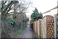
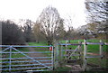
Footpath at the end of Burnside Close
Route of the LOOP.
Image: © N Chadwick
Taken: 20 Mar 2011
0.07 miles
3
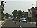
Meadway, Barnet
Meadway, Barnet, looking towards New Barnet.
Image: © Christine Matthews
Taken: 22 Sep 2005
0.07 miles
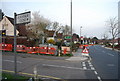
5
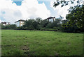
London Loop Walk across King George's Fields, Barnet
The footpath is accessed through Burnside Close, which is a turning off the Meadway.
Image: © Christine Matthews
Taken: 10 Sep 2015
0.08 miles
8
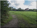
London Loop Walk across King George's Fields, Barnet
The footpath is accessed through Burnside Close, which is a turning off the Meadway.
Image: © Christine Matthews
Taken: 10 Sep 2015
0.09 miles
9
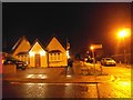
House on the corner of Meadway and Burnside Close
Image: © David Howard
Taken: 25 Dec 2013
0.10 miles
10
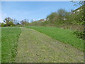
King George's Fields
King George's Fields are surprisingly rural, considering their location within built-up Barnet. The London LOOP passes through.
Most of the fields were bought for the public to mark the celebrations for the Silver Jubilee of King George Vth in 1935 - hence the name. It now consists of a patchwork of small fields, intersected by overgrown hedges, narrow strips of woodland and small seasonal streams. At the top of the hill are fine views across London. This is near the foot of the hill.
Image: © Marathon
Taken: 4 May 2016
0.13 miles